Your Guide to the 14 Best Mountains in the UK
Mountain climbing allows you to be in awe of nature, experience fresh air whipping across your face and enjoy the stress relieving benefits of exercising outdoors. If you’re interested in mountain climbing and just starting out, you’re in the right place. Avid hikers might also find this a useful checklist of UK mountains.
There are thousands of official mountains in the UK so it would be impossible to name them all. Instead, we’ve listed the most popular mountains in the UK, as well as useful information and facts to satisfy the curious among you.
Mountains in Wales | Mountains in England | Mountains in Scotland | Mountains in Ireland
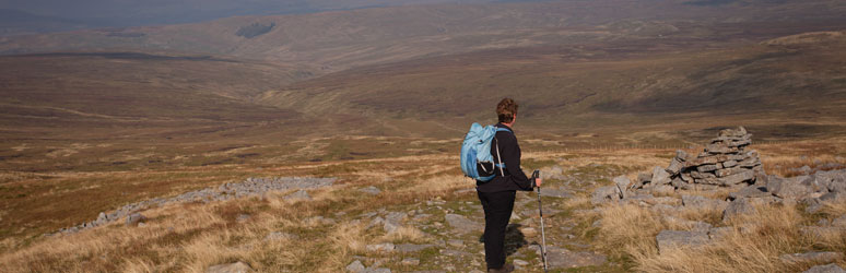
1. Pen y Fan, Brecon Beacons
![]()
Height: 886m
Fact: Pen y Fan is the highest mountain in South Wales.
Nearest campsite: 50-minute drive to the Storey Arms car park from Rhandirmwyn Club Site*.
Around 350,000 people climb Pen y Fan in the Brecon Beacons each year. It should take you around 2 hours to reach the summit where you’ll be rewarded with fantastic views over the Brecon Beacons National Park. The path can be steep in places and the Welsh weather unpredictable, but this is a great option as a first mountain.
2. Snowdon, Wales

Height: 1,085m
Fact: Snowdon is the highest mountain in Wales and England.
Nearest campsite: 42-minute drive to Pen-y-Pass car park from Llanystumdwy Club Site*.
At 1,085 metres, it’ll take you 6-8 hours to summit and descend Snowdon. While it’s no walk in the park, Snowdon is doable if you’re reasonably fit and used to walking long distance. Out of the 6 possible routes to take, Llanberis is the easiest if it’s your first time. Other routes include the Pyg Track, Miners’ Track, Watkin Path, Rhyd-Ddu Path or the Snowdon Ranger Path. Many rescues involve people that have got lost and couldn’t get back on track, so it’s important to choose your route and stick to it. Take a map and compass, wear appropriate walking boots and take plenty of food and water.
The summit offers breath-taking views over Snowdonia, Anglesey and Pembrokeshire on a clear day.
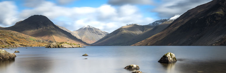
3. Scafell Pike, Cumbria
Height: 978m
Fact: Scarfell Pike is England’s highest mountain.
Nearest campsite: 30-minute drive to Wasdale Head Car Park from Ravenglass Club Site*.
There are many routes to the summit of Scafell Pike. Borrowdale, Langdale and Eskdale are all options, with the shortest route being from Wasdale. Although the shortest option, experienced walkers will need to allow around 6 hours in good weather conditions to complete the hike from Wasdale. Scafell is one of the most challenging mountains in the UK, and you’ll need to scramble no matter which route you choose.
Pre-planning is key with Scafell Pike. Make sure you check the weather in advance and prepare for all possible situations. Snow, strong winds and poor visibility are all common conditions at high altitude.
4. Cat Bells, Cumbria
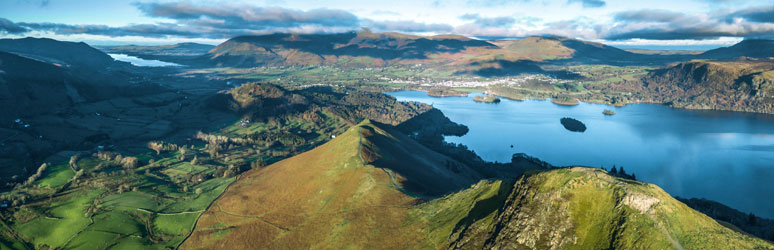
Height: 451m
Fact: Beatrix Potter used the Cat Bells and surroundings as inspiration for The Tale of Benjamin Bunny.
Nearest campsite: View our campsites in the Lake District.
At around 3.5 miles, it’ll take around 2 hours in total to ascend and descend the Cat Bells. Being one of the most popular mountains in the Lake District, you’ll rarely find yourself walking the fell alone. If you prefer a quieter walk, try going early in the season or out of season.
The walk itself isn’t too challenging, but there are some rocky sections you’ll need to scramble over. While the weather isn’t usually too problematic at the peak, it can get windy and cold so pack layers and waterproofs. The moderate walk is well worth the effort, with stunning views at the summit across Derwentwater to Skiddaw.
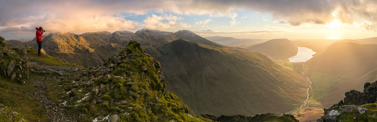
5. Great Gable, Lake District
Height: 899m
Fact: Great Gable is next to Scafell Pike, England’s highest mountain.
Nearest campsite: View our campsites in the Lake District.
At 899 meters, it should only take you a few hours to reach the summit of Great Gable. Although it’s not a particularly long walk, there are some steep sections, making this mountain a challenge for beginners and those with a little experience. There are many routes you could take to reach the summit, including those starting from Wasdale, Eskdale and Brotherdale.
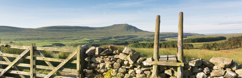
6. Mam Tor and the Great Ridge, Peak District
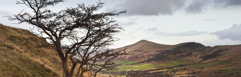
Height: 517m
Fact: Mam Tor, meaning ‘Mother Hill’ is also known as the ‘Shivering Mountain’.
Nearest campsite: 23-minute drive to Castleton car park from Hayfield Club Site*.
While Mam Tor is technically a hill, it’s nickname, elevation and popularity means it had to make this list. Accessible from Castleton, Mam Tor is consistently popular with hillwalkers and outdoor enthusiasts. With a stone footpath all the way to the top, this walk is reasonably doable for beginners. On a clear day, you can enjoy views of Kinder Scout, Hope Valley and Edale. The views from the top of Man Tor are some of the best in the country and feature heavily in many photographs of the Peak District. Make sure you pack a waterproof, warm layers and take a map and compass.
7. Cross Fell, Pennines
Height: 893m
Fact: Cross Fell is the highest point in England outside of the Lake District
Nearest campsite: It’s around a 50-minute drive to the village of Kirkland from Kendal Club Site*.
From the peak of Cross Fell you’ll see an incredible view of the Pennines, Lake District and the southern uplands of Scotland if the weathers on your side. The Pennines however are well known for unpredictable weather, so you’ll need to go prepared for anything. Cross Fell can be a challenging mountain hike but it’s worth it for the views alone.
8. Ingleborough, Yorkshire Dales
Height: 723m
Fact: Deep below the peak of Ingleborough lies a complex series of caves, you can read about some of them in our guide to the best UK caves.
Nearest campsite: The Tourist Information Centre in Ingleborough is around a 50-minute drive from our Clitheroe Club Site*.
Ingleborough is the second highest peak in Yorkshire (by 12m) but it’s the most popular due to its distinctive shape, making it look much bigger than it is. There’s plenty of routes to choose from for both the summit and return journey and the views from the top can be spectacular if you’re lucky to get a clear day.
9. Helvellyn, Lake District
Height: 950m
Fact: Helvellyn is the 3rd highest mountain in the Lake District.
Nearest campsite: View our campsites in the Lake District.
The easiest route to summit Helvellyn starts from Thirlmere and should take you a few hours to reach the summit, where you’ll be rewarded with impressive views. If you’re more experienced and looking for a challenge, take the route from the eastern side of the mountain. Approaching from the east means you’ll need to scramble around Striding Edge and Swirrel Edge. To summit and descend from Thirlmere it should take no more than 3-4 hours.
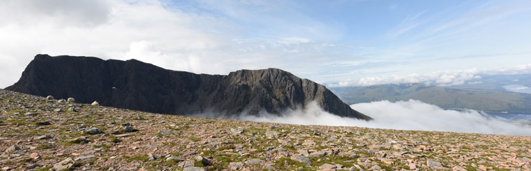
10. Ben Nevis, Lochaber
Height: 1,345m.
Fact: Ben Nevis is the highest mountain in Great Britain.
Nearest campsite: 35-minute drive to Glen Nevis Visitor Centre from Glencoe Club Site*.
If you’re looking for a demanding walk, Ben Nevis is a real challenge, even for experienced mountain walkers. The route starting at the Glen Nevis Visitor Centre is the easiest. However, on average, you’re looking at 7-9 hours on the mountain. Being the highest mountain in Great Britain, Ben Nevis can get busy. There’s no shop or café at the summit, so ensure you take enough water and food for the summit and descent.
Ben Nevis, can be covered in snow, very cold, wet and windy even in the summer months, so it’s important to go prepared. Take waterproof, warm layers including a hat and gloves so you can layer up as you climb. A map, compass, navigational skills, a first aid kit and emergency shelter, are necessary year-round.
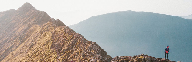
11. Buachaille Etive Mor, Highlands
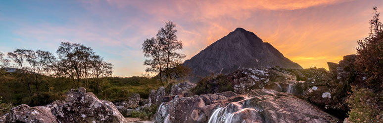
Height: 1,021m
Fact: The view of the mountain from the A82 is one of the most photographed sights in Scotland.
Nearest campsite: 13-minute drive to Buachaille car park from Glencoe Club Site*.
The iconic pyramidal shape of Buachaille, coupled with the challenge of getting to the summit, make it one of the most popular mountains in the Muro peaks, especially in the summer months. You’ll need a head for heights and navigational experience before attempting this climb. The walk up is steep and rocky in places, but once you reach the ridge, you can enjoy the views as you journey towards the summit. The steep, scrambly descent is also challenging; you’ll want a good pair of walking boots and plenty of snacks and water to see you through the 7-9 hour walk.
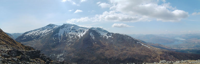
12. Aonach Beag and Aonach Mòr
Height: 1,234m
Fact: Aonach Beag has one of the UK’s only almost-permanent snow patches which only melts in the hottest summers.
Nearest campsite: 28-minute drive to Glen Nevis car park from Glencoe Club Site*.
There are many ways to summit these two mountains, joined together by a ridge. Aonach Mor is a popular ski resort with a gondola that allows you to access the mountain high up. Taking the Gondola to the Aonach Mor is how most people find it easiest to approach Aonach Beag.
13. Ben Lomond
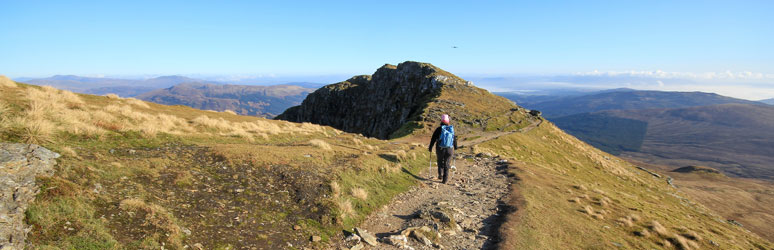
Height: 974m
Fact: Ben Lomond is the most popular mountain in Loch Lomond and the Trossachs National Park.
Nearest campsite: 12-minute drive to Ben Lomond car park from Milarrochy Bay Club Site*.
With a peak of 974 meters, Ben Lomond is a relatively long walk but with well-maintained paths. It can take anywhere from 5-7 hours in total to summit and descend. This popular mountain offers great views over Loch Lomond on a clear day.
14. Slieve Donard, County Down
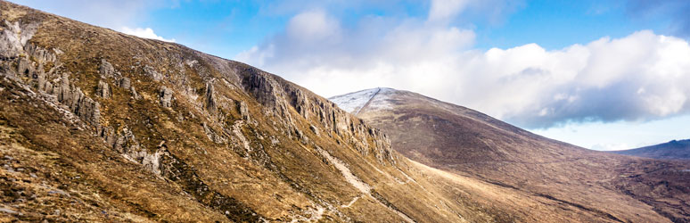
Height: 850m
Fact: Slieve Donard is the highest peak in Northern Ireland.
Towering over the Mourne Mountains, 850 metres above sea level, Slieve Donard is a great option for those with mountain walking experience. The relativity short walk has a well-defined path to the summit but do go prepared as there are some sharp inclines. You’ll follow along the Mourne Wall for most of your summit and decent. From the summit, depending on the weather, you’ll get to see the beautiful Mourne Mountains, the Isle of Man and even Newcastle Beach.
The Mourne Wall Challenge Walk is a popular choice among experienced walkers, taking you to 7 of the 10 Mourne Mountains. It’s a good 22 miles and hard to complete in a day, but if you’re up for a challenge and the weathers permitting, there are some fantastic views to be seen.
Feeling inspired? Discover more ways to explore the outdoors here.
*Drive times are approximate and may change due to traffic conditions.